top of page
Create Your First Project
Start adding your projects to your portfolio. Click on "Manage Projects" to get started
Aerial Mapping
Project type
Mapping and Survey
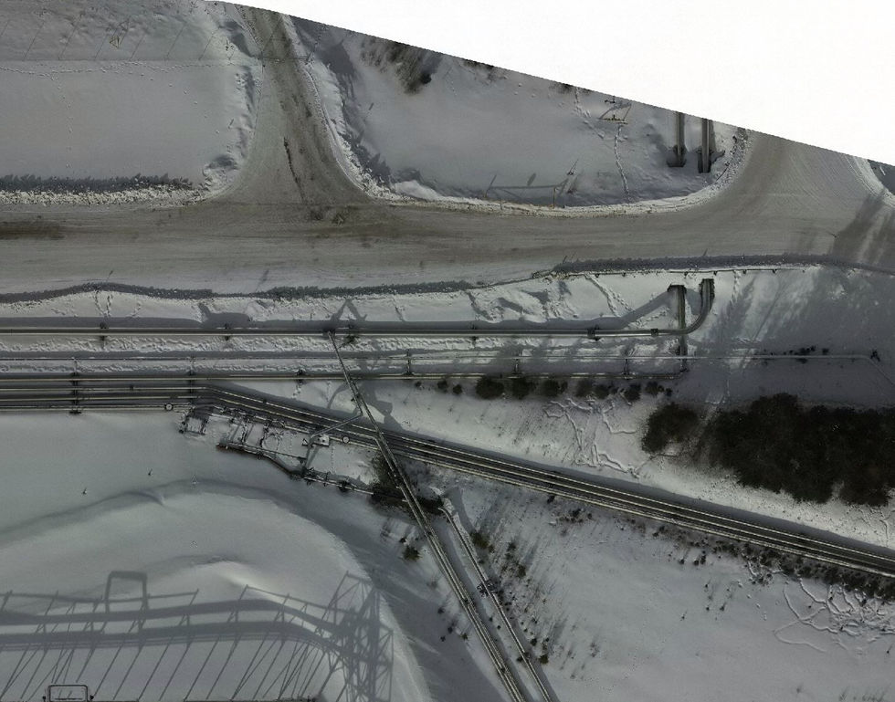
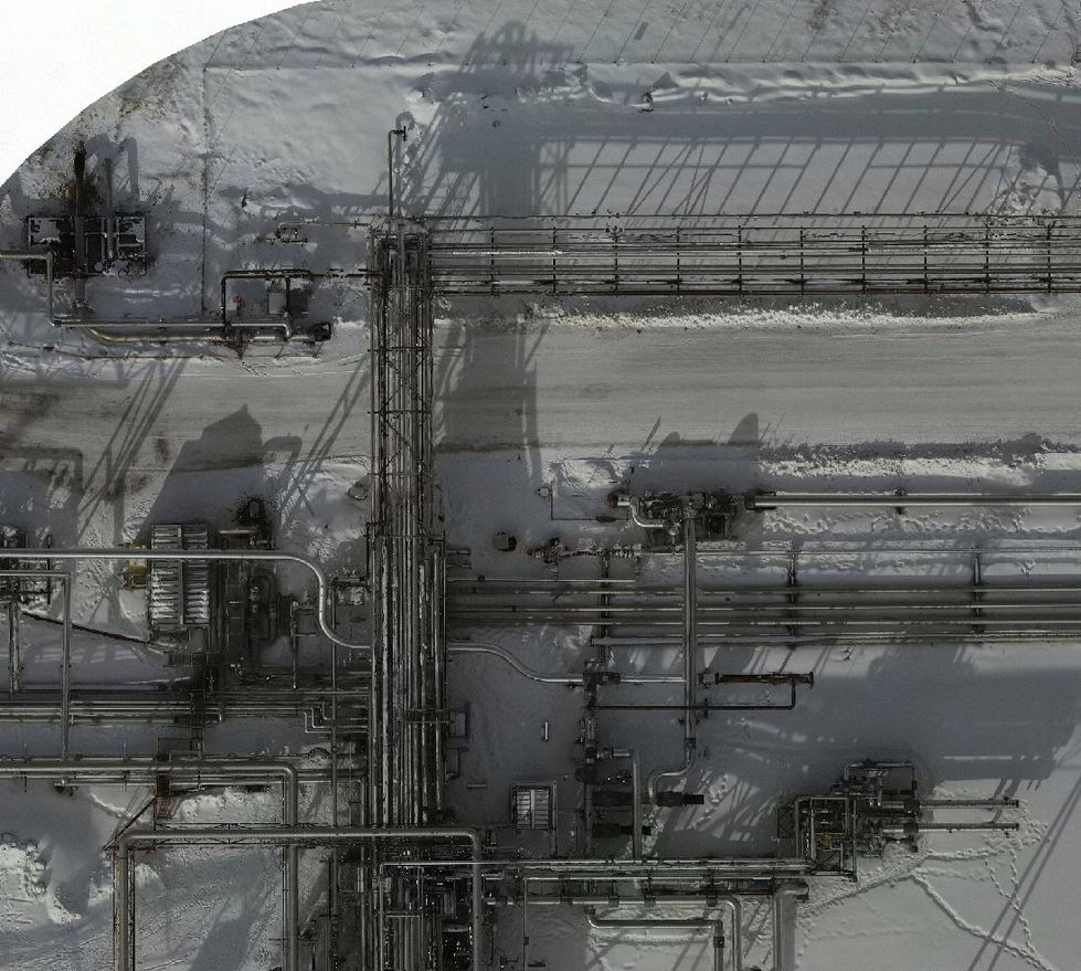
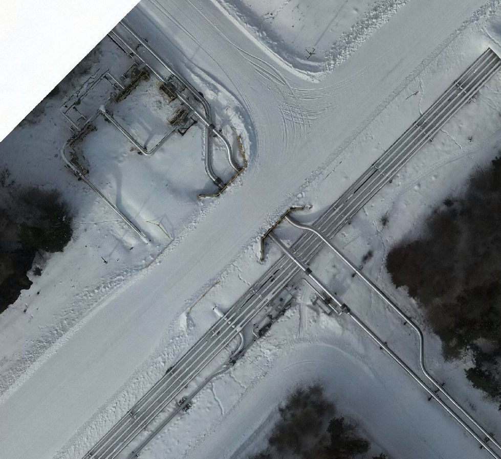
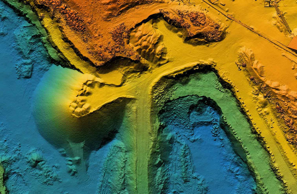
Aerial Mapping is the perfect tool for creating 2d and 3d orthomosaic maps of areas of interest. With Aerial Mapping, you can easily create spill maps, elevation and contour maps to help with project planning, risk assessment and emergency response.
https://active-drones.com/mapping-%26-survey


bottom of page

